Since I have been posting maps, I thought I would put this up.
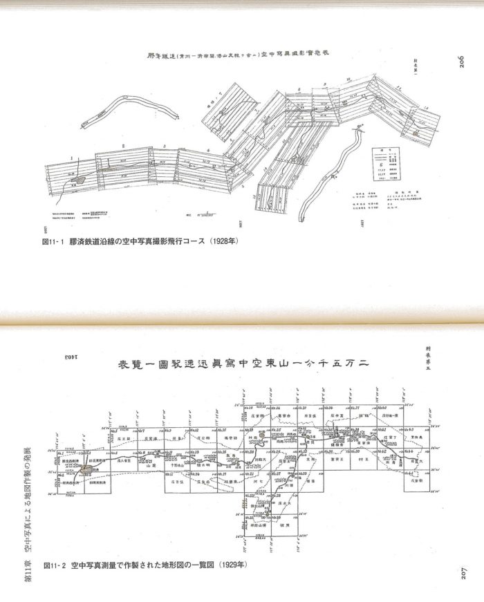
This is from Shigeru Kobayashi 小林茂, Gaihōzu : Teikoku Nihon no Ajia chizu 外邦図 : 帝国日本のアジア地図 (Tōkyō : Chūō Kōron Shinsha, 2011) Although a -lot- has been written about cartography and ways of mapping national territory much of this focuses on the nineteenth century and before. Part of the reason for that focus is probably that by 1900 much of the world had been mapped. No need to map the China Coast in 1901, it has already been done. Another reason may be that after the airplane mapping was a lot easier and thus there is less to say about it. This is a diagram of the photo-mapping of Shandong the Japanese did during the Jinan Incident
The purpose of sending Japanese troops to Shandong was not to bring along planes and start mapping Chinese territory, but as long as you are there….The text talks about some of the difficulties with this process, but basically mapping your territory (or someone else’s) got a lot easier in a hurry at this point. Also see Sakura Christmas, “The Cartographic Steppe: Mapping Environment and Ethnicity in Japan’s Imperial Borderlands,” (Ph.D. diss., Harvard University, 2016),